- 360度写真撮影とHTML作成、動画作成、ストリートビューTMの成果を紹介します。Insta360TMを利用し、野外景観、施設、お店などの360度画像を撮影しています。WEBサイトを利用したHTMLあるいは動画化によりルートビュー360+の空間を紹介します。有料のVRクラウド利用も考えられますが、画像をWEBサイトに保存し、付随的な利用料の発生しない利用形式です。
- 地理情報システム(GIS)技術を紹介します。
- リモートセンシング(RS)技術を紹介します。特に極軌道衛星による観測データのレベル0からレベル3への処理手法を紹介します。また、NOAA CLASSから取得可能なデータを基に、指定領域、指定期間、特定パラメータ(海表面温度、クロロフィル-a濃度、正規化植生指数等)の計算処理手法を紹介します。GDALTM、PYTHONTMを利用した画像処理プログラムを紹介します。
|
- Here we introduce the shooting images of 360 degree photo with Insta360TM and through HTML pages. Also images submitted to StreetviewTM are also introduced. Routeview360+ is provided for landscapes, facility, and/or shops, which are realized on out web site. The VR space on HTML doesn't need any extra sbscription to maintain. We realized these images and tours on our small computer.
- Geographic information system (GIS) is introduced through our web site.
- Remote sensing is introduced throught our web site. The processing stages of satellite data from level0 to level3 are introduced. We introduce the data processing of geophysical parameters including sea surface temperature, chlorophyll-a concentration, normalized vegetation index, land surface temperature and so on based on data available from NOAA CLASS. Program development for image processing using GDALTM and/or PythonTM is also introduced.
|
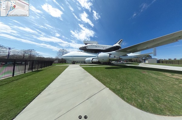 ルートビュー360+ 観光
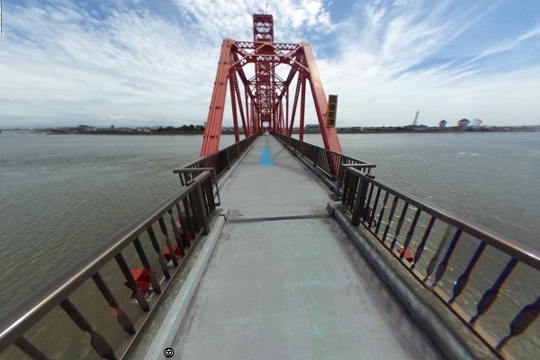 ルートビュー360+ 観光
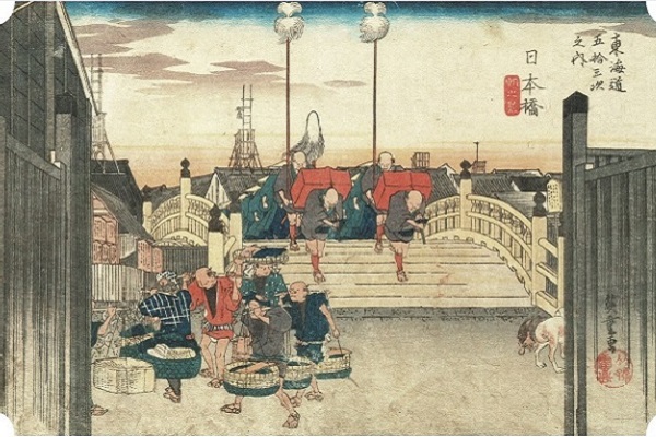 浮世絵ツーリズム
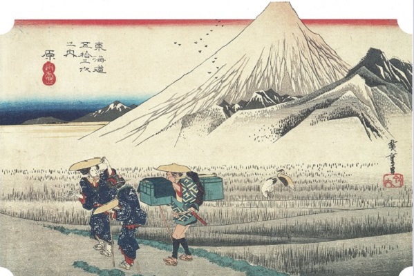 浮世絵ツーリズム
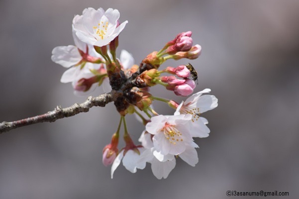 理科教材
理科教材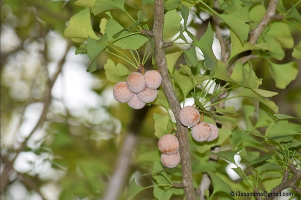 理科教材
理科教材